About RV Park Map.
A guide in every guest's hands, local businesses on every guide, and a camphost who knows where to send people. We have done it this way since 1986.
Making park maps since 1986.
We started printing guides for parks and campgrounds in 1986. The parks told us what guests ask at the window, so the guide answers those questions. The businesses told us what brings a camper through the door, so the ads carry an offer and an address. Nothing about the product came out of a textbook. It came from the phone ringing.
Every map is drawn by hand from the park's own site list. Every ad is designed in house. Every run is printed and shipped from the United States. When you call, a person picks up.
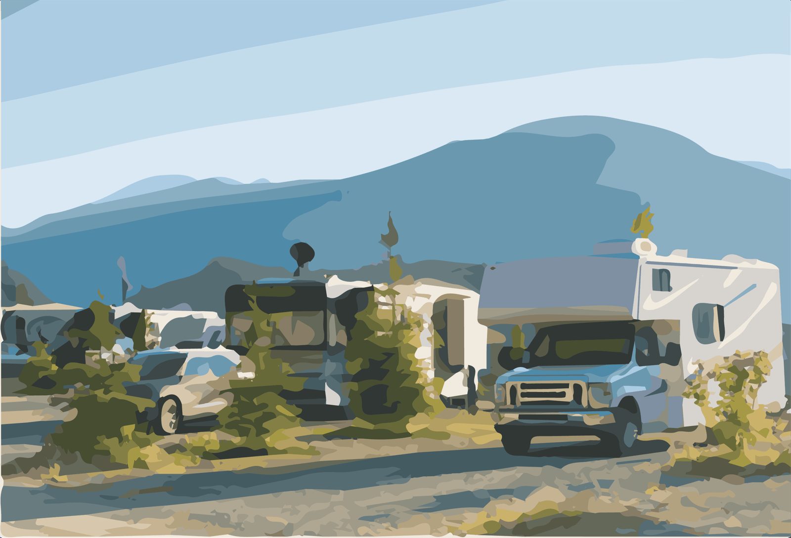
Where we are.
RV Park Map507 Main Ave W
Twin Falls, Idaho 83301
(208) 734-4577
Monday to Friday, 8 to 4 Mountain time
This is where most of us live.
(Twin Falls, Idaho)
1986
first guide printed
USA
sold, designed, and printed here
98%
of sponsors renew
2
ways to get one: sponsored by local businesses, or bought by the park
RV park websites.
RV Park Map makes maps and guides. Our sister company, RV Park Sites, builds websites for RV parks for a flat monthly price and puts the map on them. Same building, same people, different phone line.